New digital maps make sightseeing in Shinjuku fun and easy
Contributors are not employed, compensated or governed by TDM, opinions and statements are from the contributor directly

The Shinjuku area in Tokyo, Japan has attracted thousands of tourists each year. To provide tourists with a better experience, the Tokyo Metropolitan Government has begun a trial run of digital maps using Stroly, a company that deploys digital maps linked to location information through its platform.
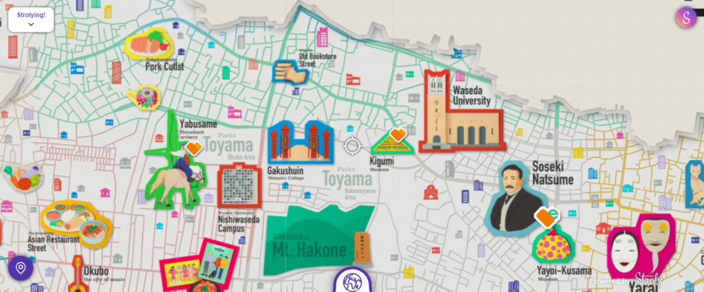
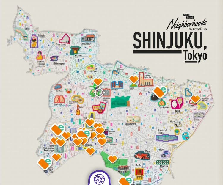
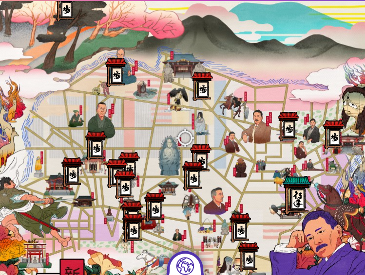
There are three themed maps: “Neo-Shinjuku” (covering Kabukicho), “The Best Neighborhoods to Stroll in Shinjuku” (covering sightseeing locations throughout Shinjuku), and “Tales and Histories in Shinjuku, Tokyo” (an illustrated historical map of Shinjuku).

Tourists can use these maps to browse information about sightseeing spots, use GPS to display their current location, and switch between maps for a virtual sightseeing experience. Now even if you’re overseas, you can still explore and learn about Shinjuku virtually.

Three types of illustration maps are linked with GPS location information and published on the website (Japanese and English). Information on sightseeing spots in the Shinjuku area is useful for collecting information before travelling.


Comments are closed.